Have you got a favourite historic place in Tooting you want
to see featured on the internet? Is there a person, feature or memory you want
to record on the web?
Come along to Tooting Library on Saturday 20th
July from 2-5pm when Tooting History Group will be uploading historic
features to the Layers of London Website.
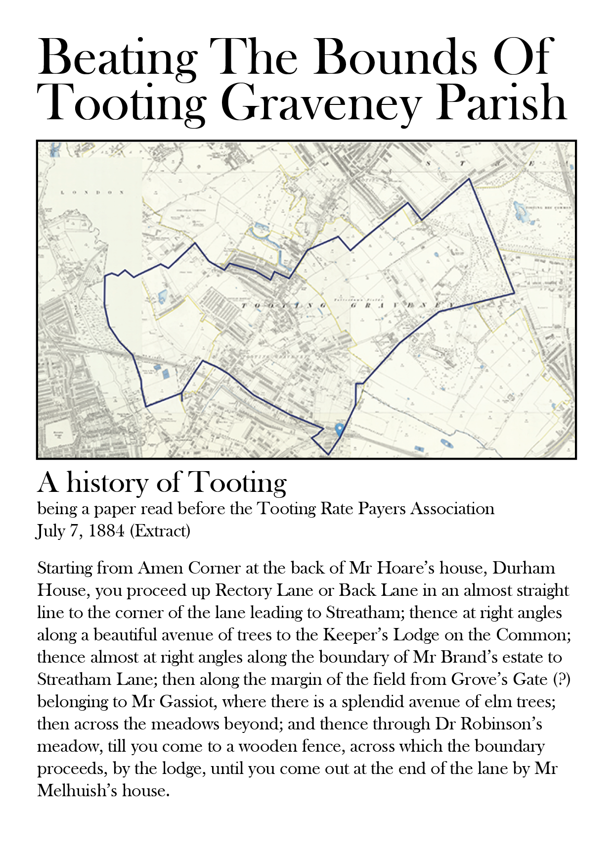
This is the Tooting Parish Boundary as described in 1884 at a meeting of the Tooting Ratepayers Association. We will be walking it on Saturday July 6th 2019.
Layers of London is a map-based history website. Users can access free historic maps of London and contribute their own stories, memories and histories to create a public social history resource about their area.
Come and hear Amy Todd from The Layers of London Project tell us how we can put Tooting on the Layers of London map.
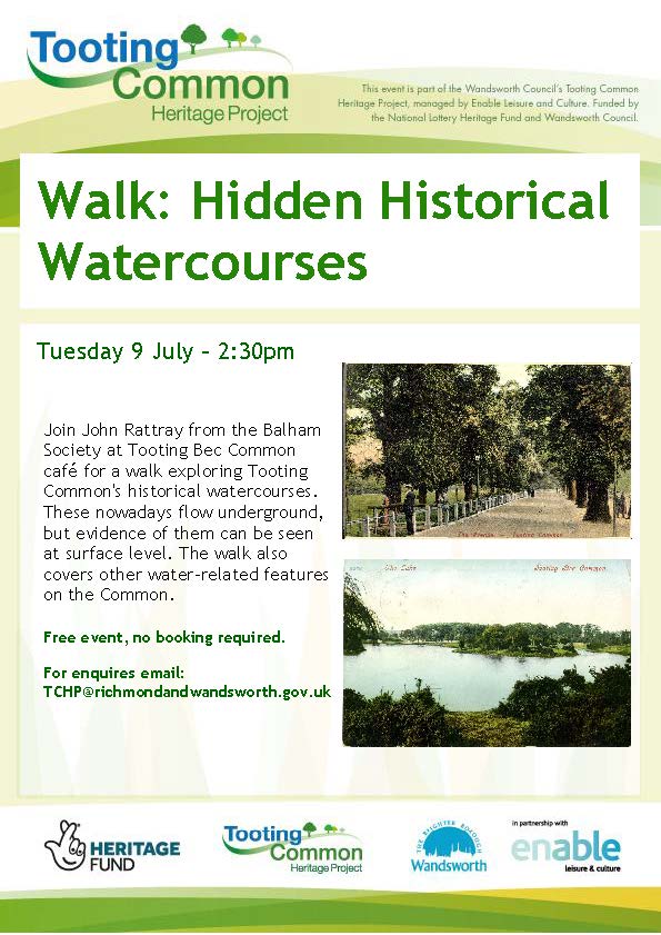
Tooting Common Heritage Project are organising a walk on the Common on Tuesday July 9th 2019 at 2.30pm. Led by John Rattray from The Balham Society, the walk will start at the Common Cafe at 2.30pm.
In 1884, a very precise description was published of the boundaries of Tooting Graveney Parish. It details the boundary fields of the Parish,who owned them and what they were being used for. We are retracing the route again in July 2019 and hope to evoke some of the historical landscape of late Victorian Tooting, stopping at the historic buildings and boundary markers on the way.
Tooting Graveney was the smallest parish in Surrey so the walk is approximately 8 miles long. We will be taking a break half-way round and you can join us for the morning or afternoon session or preferably both.
The walk is on Saturday 6th July. We are starting at 10am at Amen Corner at the junction of Mitcham Road and Southcroft Road. We will be taking a break for lunch in Tooting and reconvening at 2pm outside The Selkirk Pub, Selkirk Road (Junction of Fishponds Road) ,SW17 0ES.
Last year we did the walk in baking hot temperatures so bring some water and wear suitable footwear, as they say in all the best walking guides!